





How SRP measures water and the instruments we use
Measuring water flow and snow depth
Measuring the flow of water is critical to managing the Valley’s water supplies. That’s why SRP develops and uses state-of-the-art electronic instrumentation to measure moisture in the most remote areas of our watershed, the land that channels rainfall and snowmelt into our river systems.
SRP Flowtography
SRP Flowtography is a technology designed by SRP researchers to monitor the flow of water in our watershed and make predictions about the water supply.
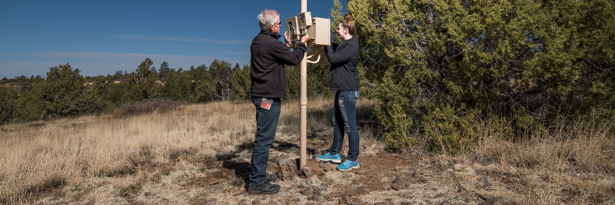
SRP Flowtography uses solar-powered cameras situated in Arizona’s high country to record time-lapse images of strategically placed measurement stakes within stream channels.
Hydrologists use these images to calculate water flow. This helps predict how much water will flow through the Salt and Verde river systems into lakes and canals and, eventually, to Valley homes and businesses.
SRP partners with many cities and groups, including universities, members of the Four Forest Restoration Initiative and Prescott and Prescott Valley, to help them better understand how fires, groundwater pumping and other impacts change the way water flows on the watershed.
SRP Snowtography
SRP Snowtography helps SRP predict how much water will run off from snowmelt into SRP’s reservoirs.
SRP Snowtography is the technology used to record time-lapse images of the snowpack at strategically placed locations in the Salt and Verde watersheds. High-tech cameras are located at elevation levels between 4,000 and 9,000 feet, from Camp Verde to Flagstaff and in the White Mountains. Much like SRP Flowtography, the camera is attached to a tree or a pole and records time-lapse images of specific areas.
Our team of hydrologists uses the images to analyze and record:
- Snow depth
- Snow level
- Duration of time snow is on the ground
- Seasonal forest health and climate changes
The information gives us a better understanding of how much water will fill our reservoirs and helps us predict the Valley’s future water supply.
RELATED TOPICS
Where your water comes from in the Phoenix metro area | SRP
Central Arizona’s water supply comes from three main sources — the Colorado River, the Salt and Verde river systems and groundwater. Learn more here.
Watershed management | SRP
Learn about SRP watershed management, the vital role Arizona’s forests play in protecting our water supply and the SRP Healthy Forest Initiative.
Where our water supply comes from
From watershed to showerhead.


