





Horseshoe Dam and Lake
On this page:
Supporting the war effort and our water supply
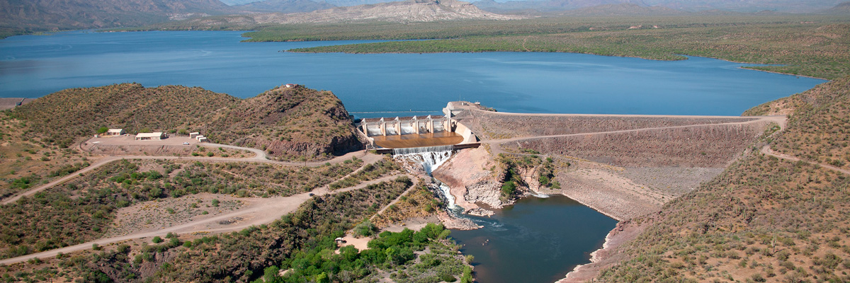
Horseshoe Dam was built between 1944 and 1946 by the Phelps Dodge Corporation (a mining company) and the Defense Plant Corporation (an agency of the emergency government during World War II).
The dam was built as part of a water exchange arrangement between Phelps Dodge and the Salt River Valley Water Users' Association. In return for building the dam, which would increase the Valley’s water supply, Phelps Dodge would get access to more supplies of water from the Black River.
Phelps Dodge needed a way to access more water because, in response to an increased demand for copper during World War II, they had nearly doubled their production capacity at the Morenci copper mine in eastern Arizona.*
After Horseshoe Dam was completed in 1946, it helped increase the Phoenix area’s water supply with water from Blue Ridge Reservoir and Show Low Lake, both of which are located on the Little Colorado River watershed.
Spillway gates, funded by the City of Phoenix, were added in 1949 to establish water rights for the city's water users.
Today, the earthen dam stands 144 feet tall and 1,500 feet long, including the spillway.
The dam forms Horseshoe Lake, a quiet lake that offers camping, fishing and hiking.
Things to do at Horseshoe Lake
Horseshoe Lake, also known as Horseshoe Reservoir, is one of the most remote lakes in the Phoenix area. That makes this lake a little tricky to get to but also makes it the perfect place to escape crowds and enjoy scenic desert views.
Always check the water levels (Opens in a new tab) before you go – Horseshoe is often drained when water in the reservoir is needed.
Stay the night
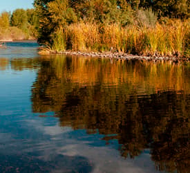
Enjoy the peaceful waters

Cast your line
Enjoy Horseshoe Lake responsibly
Find resources to plan a safe and fun day on the water at Horseshoe Lake.
Official Arizona Boating Safety Course Online
Take the CourseWatercraft Rules & Regulations
See the RulesRenew Your Watercraft Registration Online
Renew OnlineRELATED TOPICS
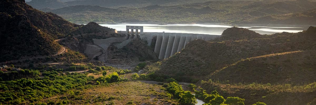
Verde Reservoirs Sediment Mitigation Project | SRP
SRP is working to restore water capacity along the Verde River at Bartlett Reservoir to help protect the Valley’s water supply for generations to come.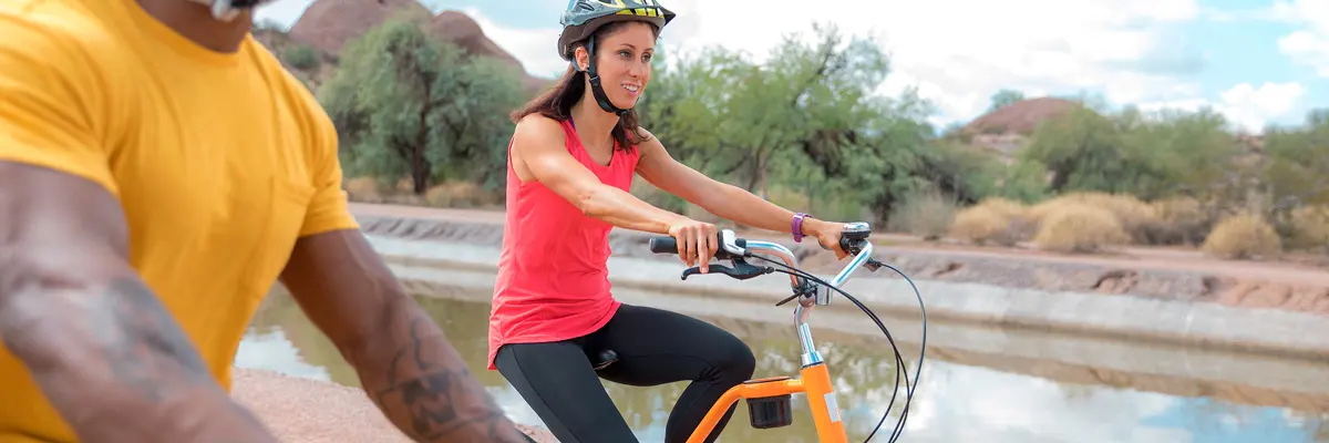
Map of canal trails and FAQ for Greater Phoenix | SRP
Walk, run or bike along the Phoenix canal trails that pave the way for fun and recreation. Find an official SRP canal map and safety info here.
Where your water comes from in the Phoenix metro area | SRP
Central Arizona’s water supply comes from three main sources — the Colorado River, the Salt and Verde river systems and groundwater. Learn more here.


